


le sulens

marcagif
User
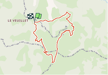

Length
9 km

Max alt
1824 m

Uphill gradient
598 m
Km-Effort
16.9 km

Min alt
1231 m

Downhill gradient
598 m
Boucle
Yes
Creation date :
2020-07-11 10:55:40.258
Updated on :
2020-07-11 14:08:26.405
3h11
Difficulty : Medium

FREE GPS app for hiking
 SityTrail
IGN / Geographical institutes
SityTrail Plus
The world is yours!
About
Trail Walking of 9 km to be discovered at Auvergne-Rhône-Alpes, Upper Savoy, Les Clefs. This trail is proposed by marcagif.
Description
depart du col de plan bois
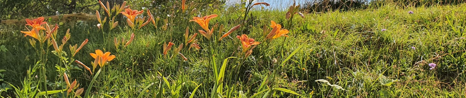
Photos

Positioning
Country:
France
Region :
Auvergne-Rhône-Alpes
Department/Province :
Upper Savoy
Municipality :
Les Clefs
Location:
Unknown
Start:(Dec)
Start:(UTM)
294862 ; 5079631 (32T) N.
Comments